Where are you going? Select ContinentAfricaAsiaAustralia OceaniaEuropeMiddle EastNorth AmericaSouth AmericaAll
What type of maps do you need? Select ActivityOn the RoadOn the WaterOn the TrailOn the GreenAll
Need a map update?
Update the maps that came with your device for the best navigation experience.
Check for Updates
General
Dimension
7.4″ x 4.8″ x 2.4″ (18.8 x 12.2 x 6.2 cm)
Weight
1.1 lbs (0.5 kg)
Water rating
IPX7
Display Type
WVGA, IPS
Display Size
4.3″ x 2.6″ (10.9 x 6.6 cm)
Display resolution
800 x 480 pixels
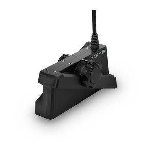
Mounting Options
Bail or flush
Input
Maps & Memory
Accepts Data Cards
1 microSD™ card; 32 GB maximum size
Waypoints
5,000
Track points
50,000
Tracks
50 saved tracks
Navigation Routes
100
Sensors
GPS
Galileo
Has built-in receiver
Receiver
5 Hz
Supports WAAS
Built-in Maps
Built-in Auto Guidance+
yes (downloadable via ActiveCaptain app)
Garmin Navionics+ Inland & Coastal
yes (see Additional)
Garmin Navionics+ (Coastal)
yes (see Additional)
Garmin Navionics+ (Inland)
yes (see Additional)
Tide tables
yes (see Additional)
Optional Map Support
BlueChart g3
BlueChart g3 Vision
LakeVü g3
LakeVü g3 Ultra
Garmin Navionics+™
Garmin Navionics Vision+™
TOPO 100K
Standard Mapping
Garmin Quickdraw Contours
Chartplotter Features
ActiveCaptain® compatible
Electrical Features
Power Input
9 to 18 Vdc
Typical current draw at 12 Vdc
1.0 A
Maximum current draw at 12 Vdc
1.5 A
Maximum power usage at 10 Vdc
18W
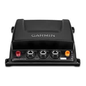
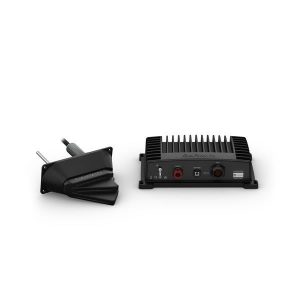
Sonar Features
Displays sonar
Power output
500 W
Traditional sonar (dual frequency/beam)
Built-in (single channel CHIRP, 50/77/83/200 kHz, L, M, H CHIRP)
ClearVü
Built-in 260/455/800/1000/1200 kHz
Connections
4-pin transducer ports
1
Garmin Wi-Fi network (local connection)
Additional
Additional
Garmin Navionics+ (inland and coastal): 55cv Canada, 55cv Australia/New Zealand
Garmin Navionics+ (coastal): 54cv U.S., 55cv U.K./Ireland
Garmin Navionics+ (inland): 53cv U.S. lakes
Tide tables: 53cv, 54cv, 55cv, 73cv, 74cv, 75cv